Stream flow monitoring supported by the Network is currently underway in 10 locations between Nanaimo and Campbell River.
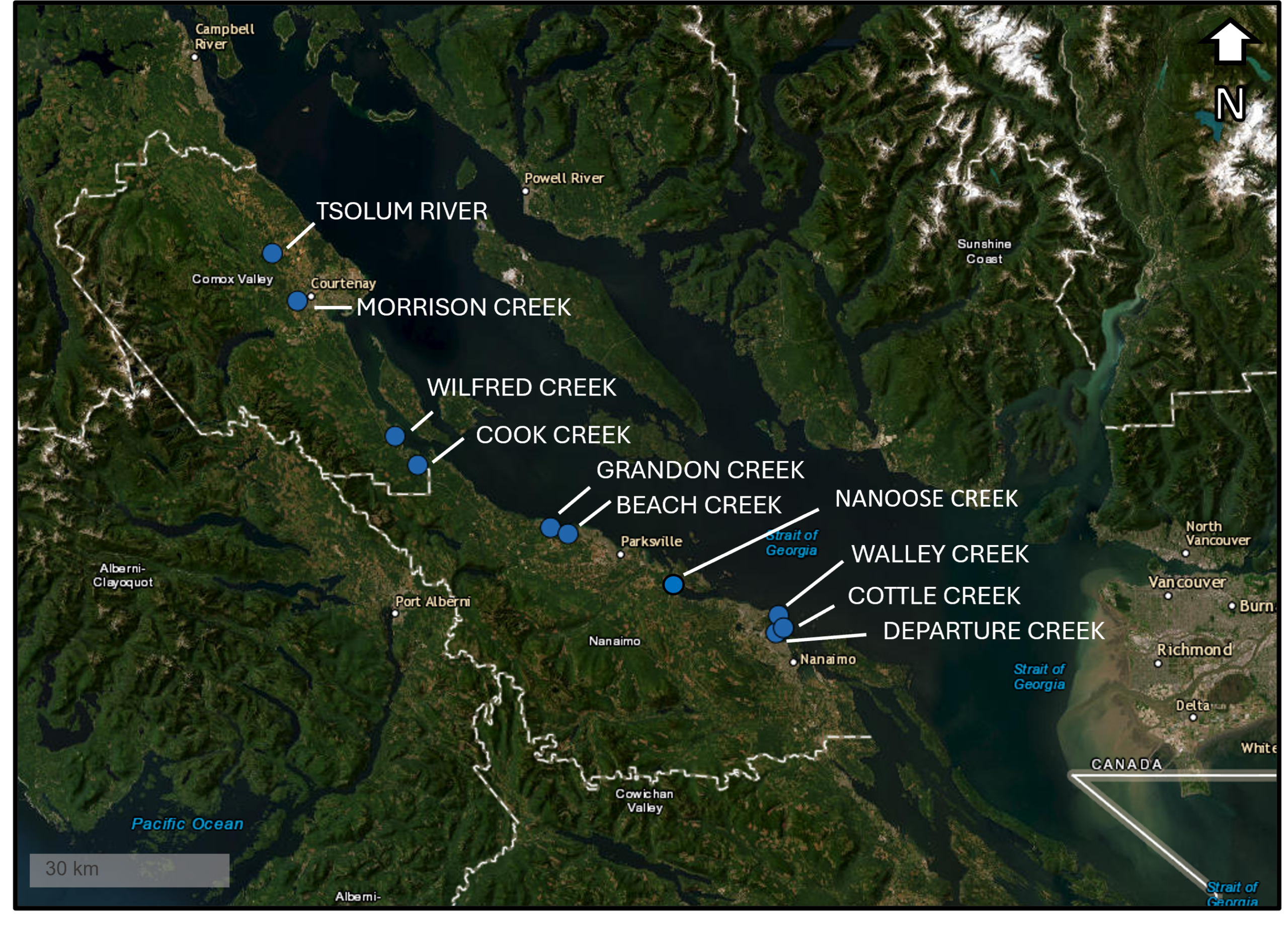
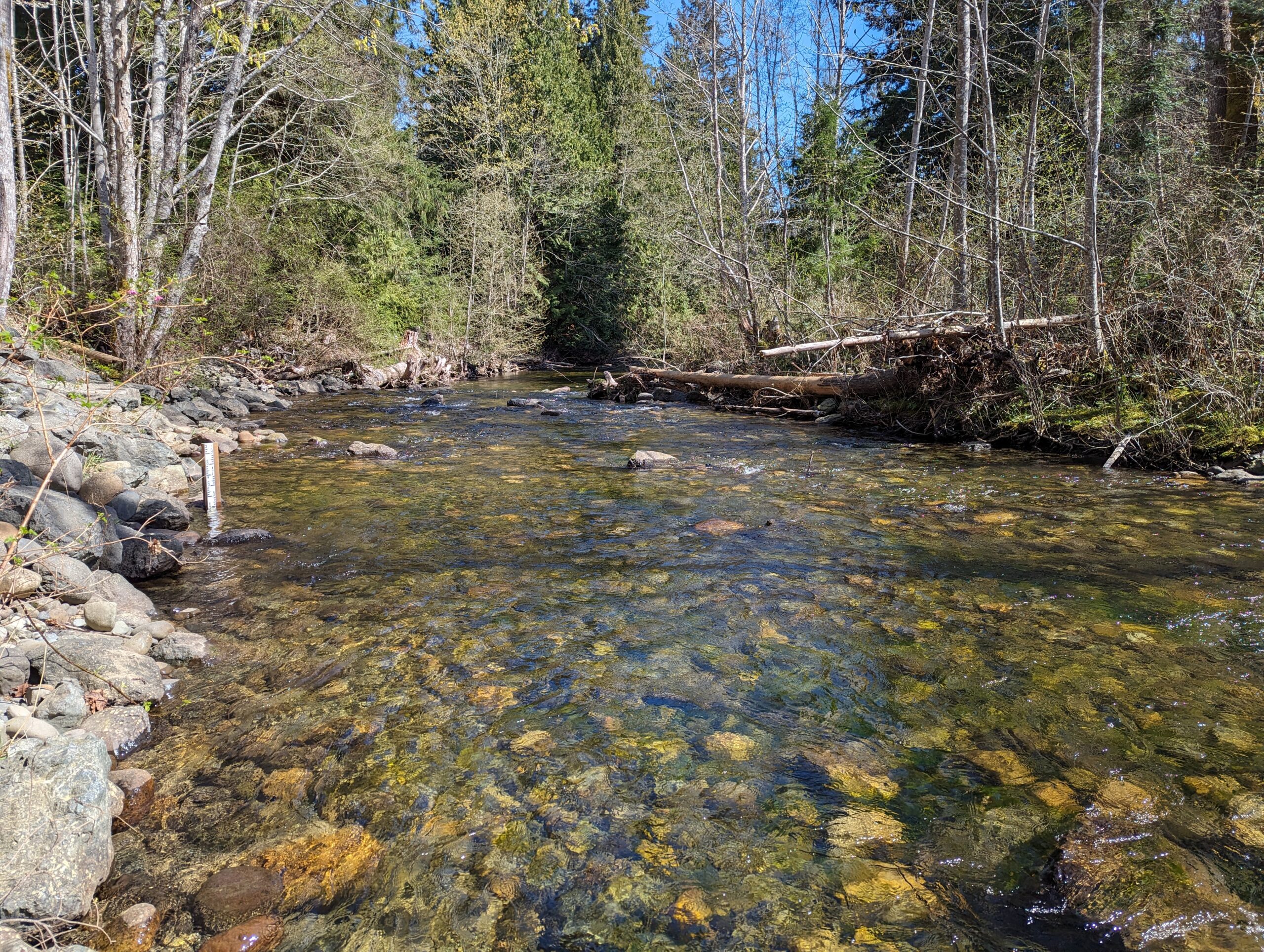
Tsolum River, Courtney BC
The Tsolum River station was installed in September of 2012 by BCCF and the Tsolum River Restoration Society (TRRS).
This station is located near Todd Road/Michaels Drive, which is several kilometers upstream of the Water Survey Canada gauging station. This station is only monitored during spring, summer and fall for low flow conditions.
TRRS aims to measure flow at the upper (and lower) ends of the farmed area of the watershed to enable the quantification of the loss of water volume to irrigation/water withdrawal which is otherwise poorly monitored. In addition, the ability to share flow measurements in real-time with local and provincial governments during critical low flow periods is an important component of their monitoring goals.

Morrison Creek, Courtney BC
The Morrison Creek station is the newest addition to the Flow Network, installed in September of 2023 by BCCF, ENV and the Morrison Creek Streamkeepers (MCS).
This station is located in Roy Morrison Park near Arden Road. Morrison Creek is an extremely important salmon bearing stream and is home to the Morrison Creek lamprey, a unique species of lamprey found nowhere else in the world.
MCS has previously done extensive flow monitoring in the upper reaches and tributaries of the Morrison Creek watershed. With this station, they are interested in determining the impacts of water license withdrawals in sensitive stream areas and comparing their data to a provincially run station located further downstream.

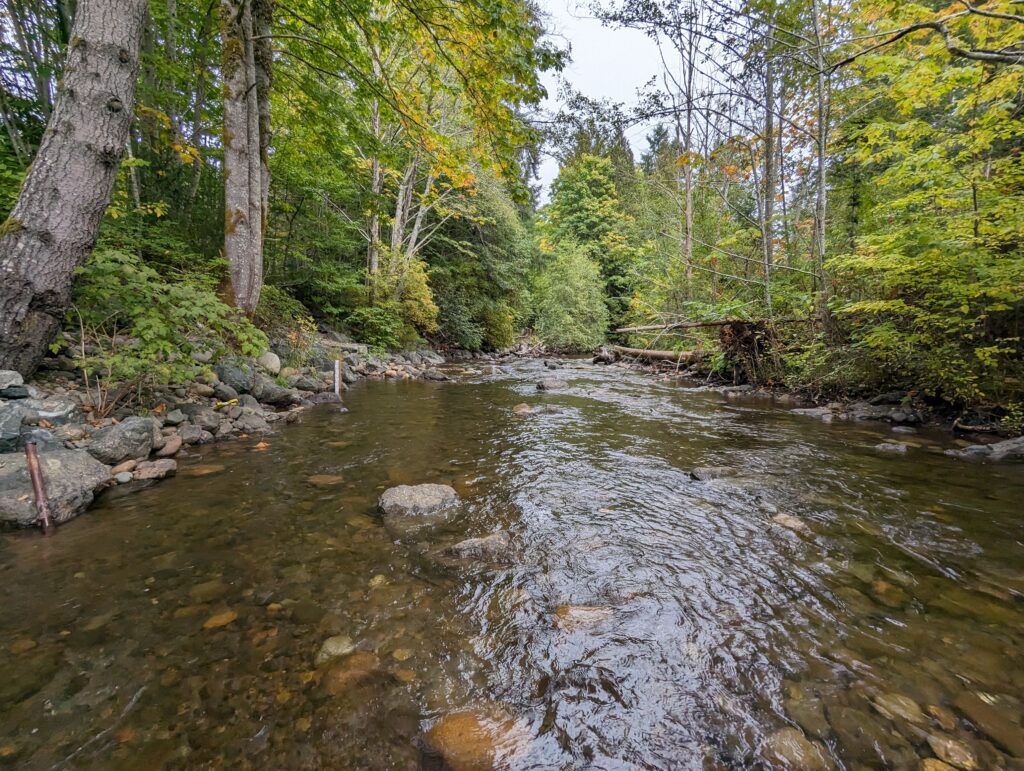
Wilfred Creek, Fanny Bay BC
The Wilfred Creek station was installed in August of 2018 by BCCF and the Fanny Bay Salmonid Enhancement Society (FBSES).
This station is located near Hwy 19A and captures most of the Wilfred Creek drainage. This site is challenging to monitor and maintain equipment at because of high discharge and woody debris transport in winter. The Beaufort Watershed Stewards (BWS) have stepped up to help monitor this site during low flows.
BWS are interested in identifying trends in high- or low-flow over time to share information with their community and local governments to encourage better watershed protection by preserving riparian corridors and forested/undeveloped land within the watershed.
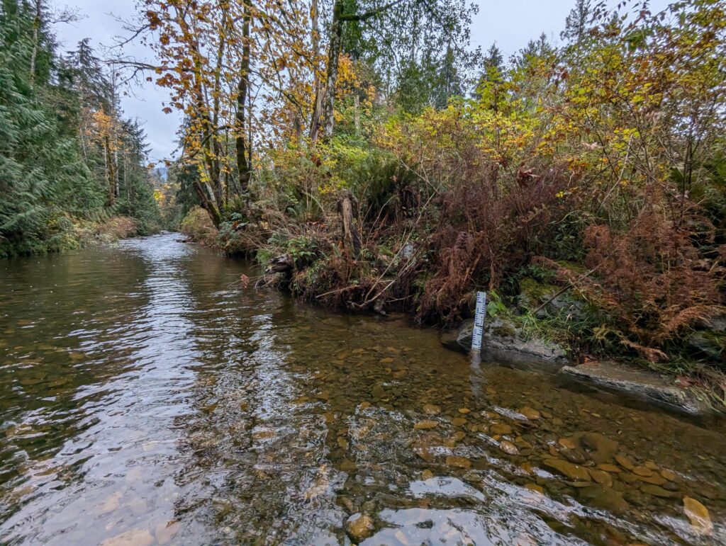
Cook Creek, Fanny Bay BC
The Cook Creek station was installed by BCCF and the Fanny Bay Salmonid Enhancement Society (FBSES) in August of 2018.
A historical flow monitoring station was operated on Cook Creek by FBSES upstream of Hwy 19A, but difficulties with safety and site access prompted the relocation of the station to the current site in 2018.
The Beaufort Watershed Stewards currently operate the station at Cook Creek. Similar to Wilfred Creek, BWS is interested in using flow data to better understand the water balance of the area and to share this information with the local community. This creek supports hundreds of Coho fry and parr throughout the summer, which are frequently seen swimming in the gauge pool.
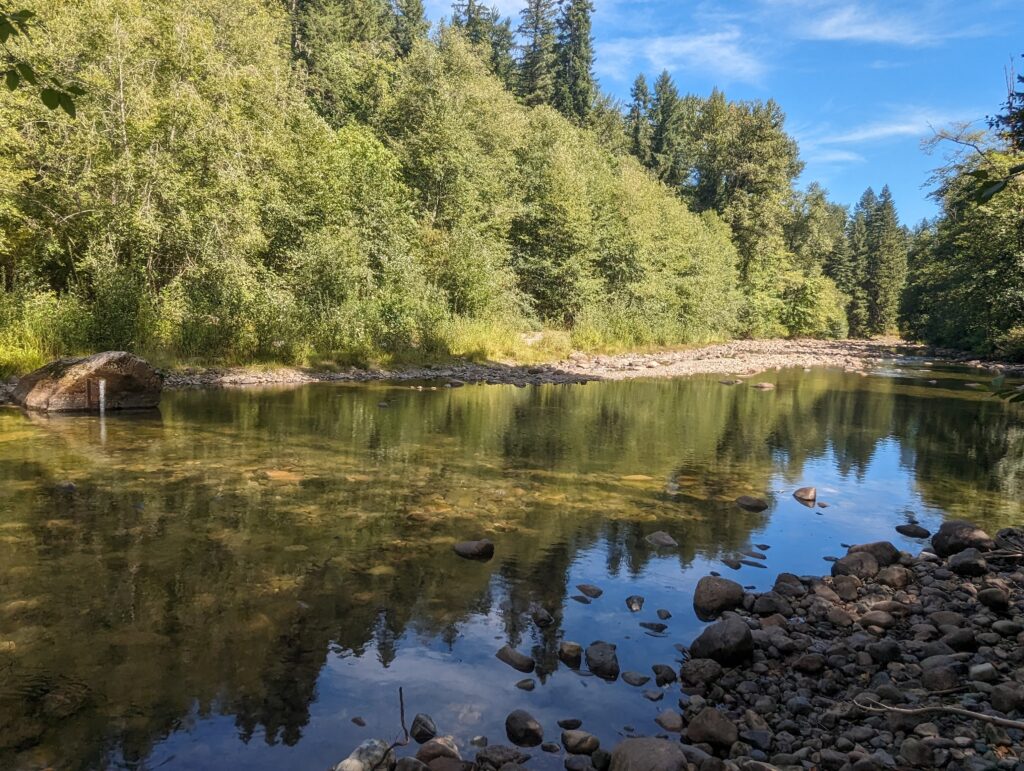
Grandon Creek, Qualicum Beach BC
The Grandon Creek station was installed in August of 2012 by BCCF and the Qualicum Beach Streamkeepers (QBSK). This station is located near Crescent Road West just upstream of a series of concrete weirs constructed by the Town of Qualicum Beach.
Alongside the Flow Tracker, a new “bucket brigade” method has been implemented to monitor this station at low flows. Grandon creek supports cutthroat and coho fry and parr, and some adult spawners have previously been observed in the fall.
QBSK aim to better understand low and high flow conditions to better correlate seasonal timing of barriers to fish passage in Grandon Creek. They are also interested in mapping the creek to identify previously unidentified tributaries and ditches that flow into Grandon Creek, as well as assess summer low-flow refuge habitat and areas for habitat enhancement.

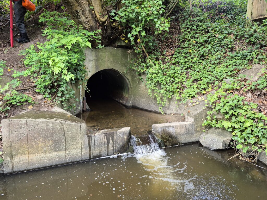
Beach Creek, Qualicum Beach BC
The Beach Creek station was installed in July 23 of 2020 by BCCF and the Qualicum Beach Streamkeepers.
This station is approximately halfway between the headwaters located at Pheasant Glen Golf Resort and the mouth at Hwy 19A. Along the way, the creek passes through residential properties, the Heritage Forest, and another golf course. The logger is mounted on the downstream face of the walking path culvert, which was replaced by the Town of Qualicum Beach in
2015-16.
This is a productive creek for Coho, cutthroat and rainbow trout. QBSK aims to use flow data in combination with fish population monitoring and habitat mapping to better understand habitat use in relation to streamflow, and identify areas for future habitat enhancement projects.
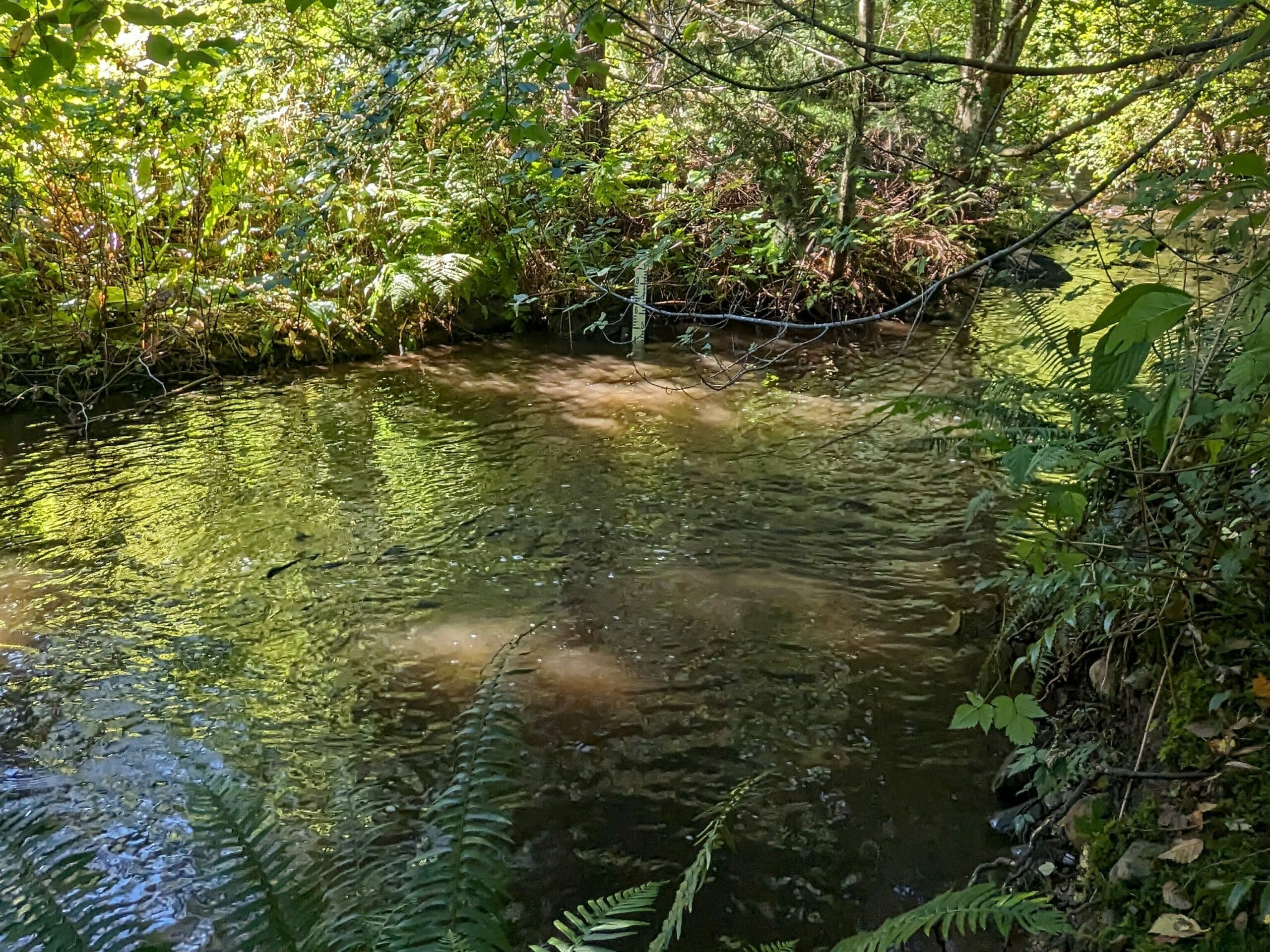
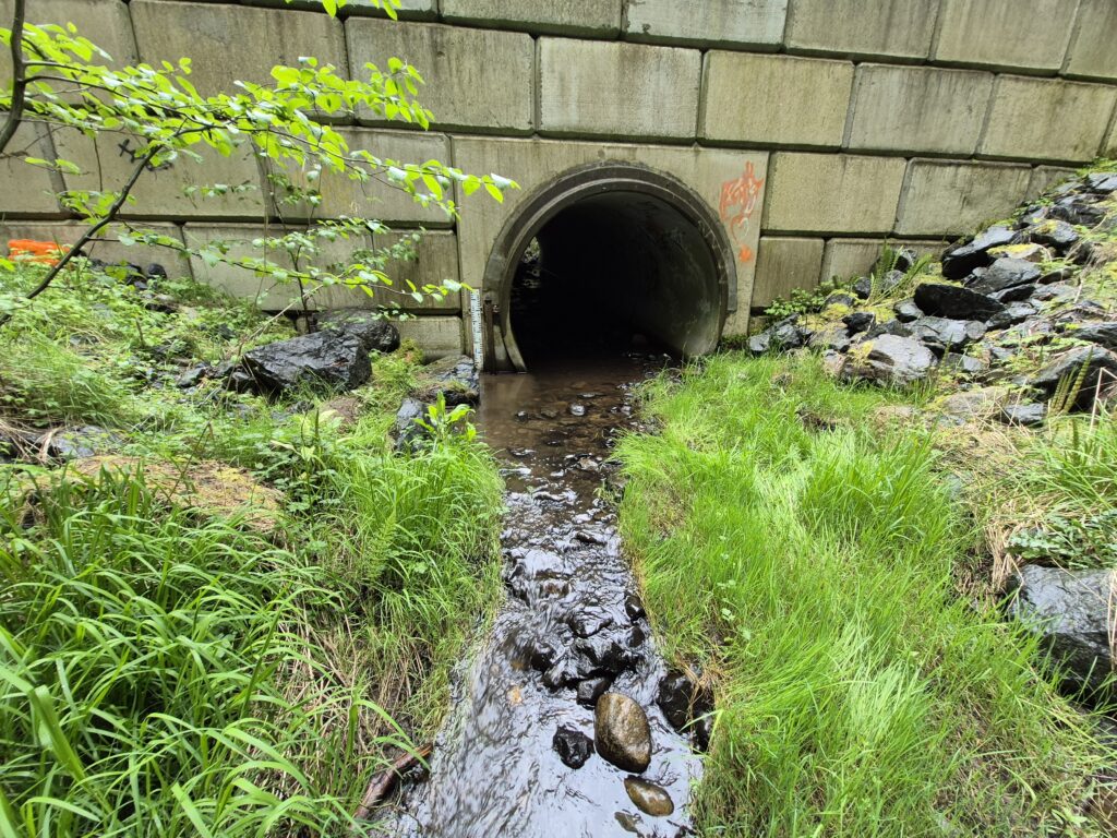
Departure Creek, Nanaimo BC
The Departure Creek station is a new addition to the Network, installed in August 2023 by BCCF, ENV and the Departure Creek Streamkeepers (DCS). This station is located in lower Woodstream Park.
This station is operated by DCS in partnership with the Nanaimo & Area Land Trust (NALT). Departure creek provides important rearing habitat for several species of Pacific salmon. Over the last several years, DCS have conducted extensive restoration activities in the creek, including the creation of a side channel for fry rearing habitat. They are interested in better understanding the influence of these past restoration projects on streamflow, as well as how stormwater inputs affect the timing and magnitude of high flow events in the creek.

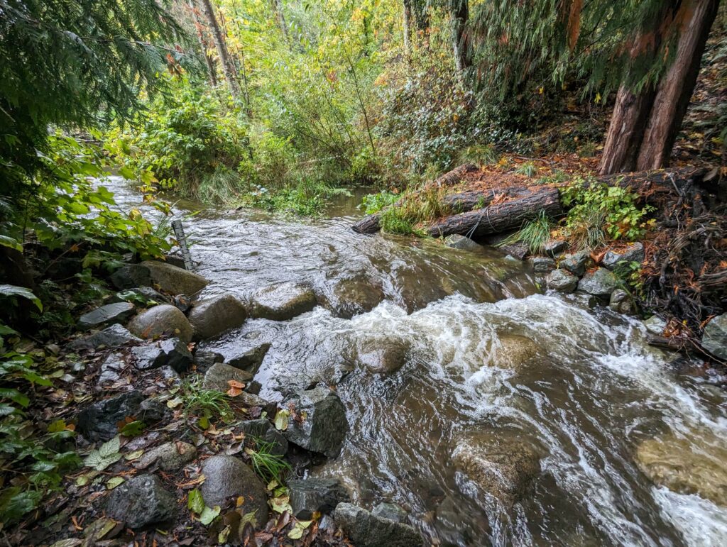
Walley Creek, Nanaimo BC
The Walley Creek Streamkeepers (WCS) have been conducting flow monitoring intermittently over the past several years. They are a new addition to the Network in August of 2024. BCCF and ENV assisted with upgrading this station to a new logger housing pipe and installing benchmarks.
This station is operated by WCS in partnership with NALT. Walley Creek originates in a forested marsh west of Entwhistle Drive and flows approximately 2.5 km through urban neighborhoods into Hammond Bay near Neck Point Park. It flows through a highly urbanized area of the city, and is highly valued by the local community.
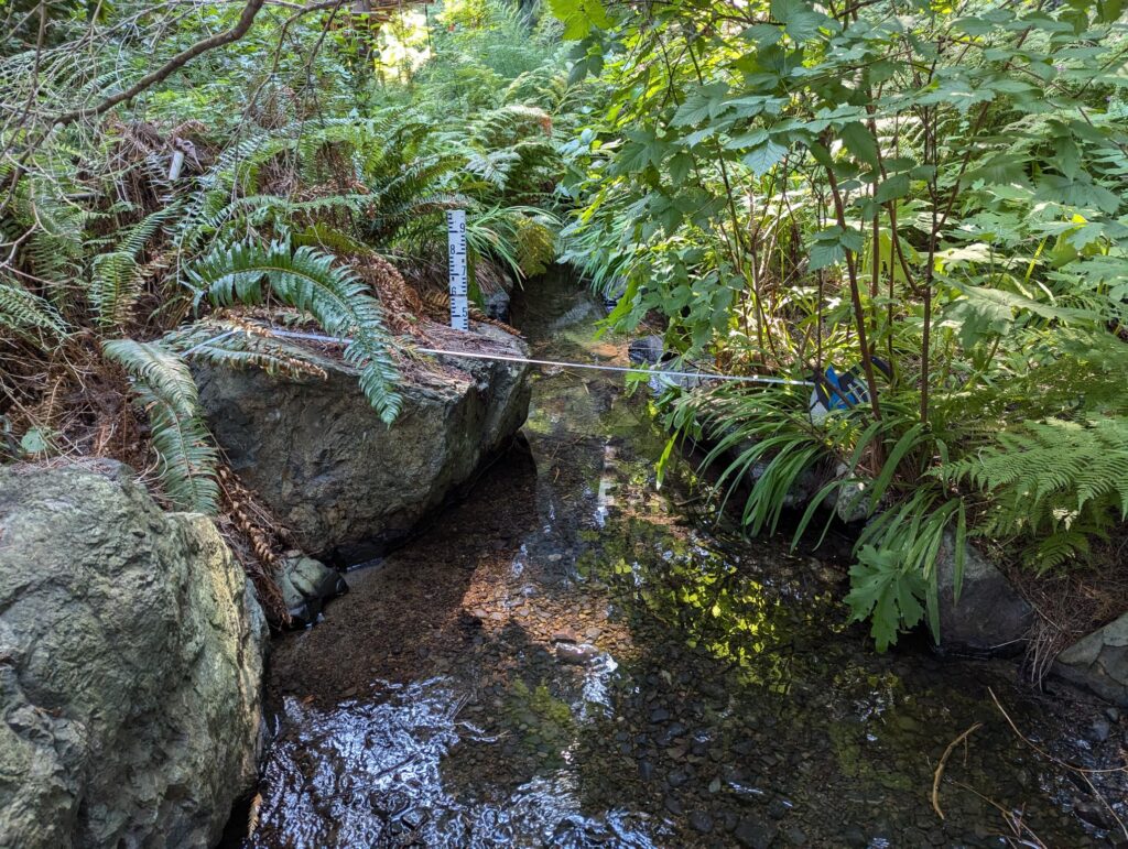
Cottle Creek, Nanaimo BC

Friends of Cottle Creek
Cottle Creek station was installed in September 2024 by BCCF and Friends of Cottle Creek. Cottle Creek originates from above Cottle Lake in Linley Valley Park and flows through several tributaries that cover an area of approximately 4.5 square km.
Friends of Cottle Creek, in partnership with NALT, are interested in comparing the flow in Cottle Creek to other similar sized watersheds in the area in order to better understand how changes to land use (e.g. development and urbanization) can affect the flow dynamics of small streams
Nanoose Creek, Nanoose Bay BC
The newest addition to the network, Nanoose Creek station was installed in October 2025 by BCCF, the Mid-Vancouver Island Habitat Enhancement Society (MVIHES), and the Regional District of Nanaimo (RDN).
Nanoose Creek was previously monitored under the Provincial Hydrometric Program, but station stability issues forced the re-location of the gauge upstream. MVIHES and the RDN have partnered to monitor Nanoose Creek going forward.
Additional Network Partners
- Regional District of Nanaimo
- City of Nanaimo
- Fanny Bay Salmonid Enhancement Society
- Friends of Bowker Creek
- Golden Rods and Reels
- World Fisheries Trust
- Peninsula Streams and Shorelines
- Project Watershed
- Steeqye’ Learning Society
- Greenways Land Trust
- Quadra Island Salmon Enhancement Society

Aquatic Research and Restoration Centre
#105 – 1885 Boxwood Road, Nanaimo, BC V9S 5X9
Community Flow Monitoring Network Project Coordinator Contact
Email: abadger@bccf.com
Follow us
We gratefully acknowledge that the Aquatic Research and Restoration Centre is located on the traditional, ancestral, and unceded territory of the Snuneymuxw First Nation. We also recognize that project activities are occurring across the traditional, ancestral, and unceded territories of Coast Salish, Kwakwaka’wakw, and Nuu-Chah-Nulth Peoples.
Copyright ©2023 British Columbia Conservation Foundation. All rights reserved. This material is owned by British Columbia Conservation Foundation and protected by copyright laws. It may not be reproduced or redistributed without the express, prior, and written permission of the British Columbia Conservation Foundation.